|
search place name
|
||
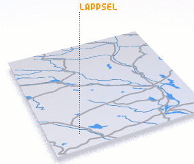
Lappsel (Norrbotten, Sweden)Lappsel is a town in the Norrbotten region of Sweden. An overview map of the region around Lappsel is displayed below.
regional and 3d topo map of Lappsel, Sweden ::

Lappsel airports ::
The nearest airport is LLA - Lulea Kallax, located 67.7 km south of Lappsel.
Other airports nearby include GEV - Gallivare (125.5 km north west), SFT - Skelleftea (177.9 km south), KRN - Kiruna (203.4 km north west), Nearby towns ::
 Places with similar names to Lappsel, Sweden ::
// Leppsilla (EE)
// Lăpoşelu (RO)
// Lăpuşel (RO)
// La Posaola (CO)
// La Pazuela (MX)
// Lipazula (ZM)
// Lipazula (ZM)
// Lepasale (HN)
// Le Poislay (FR)
// Lepsala (FI)
Disclaimer :: Information on this page comes without warranty of any kind |
||
|
Where is Lappsel? Elevation and coordinates ::
Latitude (lat): 66°9'0"N Longitude (lon): 22°12'0"E
(map arrows pan, magnifying glasses zoom) |
||
|
Visiting Lappsel? Hotel/Accommodation ::
Book a hotel in Lappsel Travel Guide ::
Buy a travel guide for Sweden rental cars ::
car rental offers GPS waypoint ::
download a GPX waypoint (PoI) of Lappsel for your GPS receiver
|
||