|
search place name
|
||
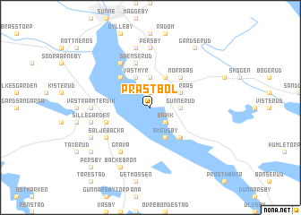
Prästbol (Värmland, Sweden)Prästbol is a town in the Värmland region of Sweden. An overview map of the region around Prästbol is displayed below.
regional and 3d topo map of Prästbol, Sweden ::
Prästbol airports ::
The nearest airport is KSK - Karlskoga, located 85.1 km south east of Prästbol.
Other airports nearby include ORB - Orebro (118.6 km south east), LDK - Lidkoping (141.2 km south), KVB - Skovde (149.0 km south), MXX - Mora (154.5 km north east), Nearby towns ::
By (1.9km north) //
Bävik (2.1km south east) //
Arvidstorp (2.1km north west) //
Gunnerud (1.9km east) //
Högberg (3.7km north) //
Smedsby (3.8km south) //
Södra Ås (2.6km north east) //
Västmyr (3.8km north) //
Mårbacka (3.8km north) //
Östmansby (4.1km south east) //
Fölsvik (4.2km south east) //
Stavik (4.2km north west) //
Norra Ås (4.2km north east) //
Humlen (3.4km south west) //
Svenserud (5.6km north) //
Säljebacka (4.6km south west) //
Grava (5.9km south) //
Fasterud (5.9km north) //
Örbäck (5.9km north) //
Västra Ämtervik (3.7km west) //
Angersby (7.4km north) //
Askersby (7.4km north) //
Ingeby (3.7km west) //
Kolsgård (3.7km west) //
Persby (7.4km north) //
Svensby (3.7km west) //
Sillegården (4.2km south west) //
Munkebacka (7.5km north) //
Mellby (7.5km north) //
[all distances 'as the bird flies' and approximate] 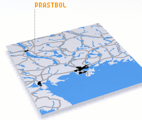 Places with similar names to Prästbol, Sweden ::
Disclaimer :: Information on this page comes without warranty of any kind |
||
|
Where is Prästbol? Elevation and coordinates ::
Latitude (lat): 59°44'0"N Longitude (lon): 13°12'0"E
Elevation (approx.): 83m (map arrows pan, magnifying glasses zoom) |
||
|
Visiting Prästbol? Hotel/Accommodation ::
Book a hotel in Prästbol Travel Guide ::
Buy a travel guide for Sweden rental cars ::
car rental offers GPS waypoint ::
download a GPX waypoint (PoI) of Prästbol for your GPS receiver
|
||