|
search place name
|
||
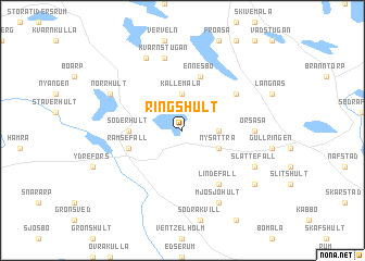
Ringshult (Kalmar, Sweden)Ringshult is a town in the Kalmar region of Sweden. An overview map of the region around Ringshult is displayed below.
regional and 3d topo map of Ringshult, Sweden ::
Ringshult airports ::
The nearest airport is HLF - Hultsfred, located 34.7 km south of Ringshult.
Other airports nearby include LPI - Linkoeping Saab (65.8 km north), OSK - Oskarshamn (74.0 km south east), JKG - Joenkoeping Jonkoping (92.3 km west), NRK - Norrkoeping Kungsangen (93.5 km north east), Nearby towns ::
Hjulbäcken (2.0km east) //
Kållemåla (3.7km north) //
Nysättra (2.7km south east) //
Söderhult (3.0km west) //
Ennesbo (5.6km north) //
Ramsefall (3.5km south west) //
Lindefall (5.9km south) //
Björkhult (4.7km north east) //
Örsåsa (3.9km east) //
Kvarnstugan (7.5km north) //
Slättefall (5.4km south east) //
Krutebo (7.7km north) //
Mjösjöhult (7.7km south) //
Norrhult (5.4km north west) //
Bäckhult (6.8km south east) //
[all distances 'as the bird flies' and approximate] 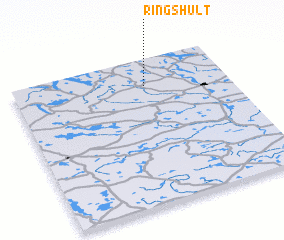 Places with similar names to Ringshult, Sweden ::
// Ringshult (SE)
Disclaimer :: Information on this page comes without warranty of any kind |
||
|
Where is Ringshult? Elevation and coordinates ::
Latitude (lat): 57°49'0"N Longitude (lon): 15°37'0"E
Elevation (approx.): 213m (map arrows pan, magnifying glasses zoom) |
||
|
Visiting Ringshult? Hotel/Accommodation ::
Book a hotel in Ringshult Travel Guide ::
Buy a travel guide for Sweden rental cars ::
car rental offers GPS waypoint ::
download a GPX waypoint (PoI) of Ringshult for your GPS receiver
|
||