|
search place name
|
||
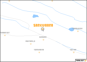
Särkivaara (Norrbotten, Sweden)Särkivaara is a town in the Norrbotten region of Sweden. An overview map of the region around Särkivaara is displayed below.
regional and 3d topo map of Särkivaara, Sweden ::
Särkivaara airports ::
The nearest airport is GEV - Gallivare, located 61.4 km north west of Särkivaara.
Other airports nearby include KRN - Kiruna (134.0 km north west), LLA - Lulea Kallax (138.6 km south), ENF - Enontekio (187.7 km north), Nearby towns ::
 Places with similar names to Särkivaara, Sweden ::
// Sǝrçuvar (AZ)
// Sargvere (EE)
// Sirguvere (EE)
// Sürgavere (EE)
// Sarca Agher (ET)
// Serki-Fari (BJ)
// Sragafareh (ID)
// Sar Kavīr (IR)
// Sarkavare (SE)
// Särkivaara (SE)
Disclaimer :: Information on this page comes without warranty of any kind |
||
|
Where is Särkivaara? Elevation and coordinates ::
Latitude (lat): 66°47'0"N Longitude (lon): 21°54'0"E
(map arrows pan, magnifying glasses zoom) |
||
|
Visiting Särkivaara? Hotel/Accommodation ::
Book a hotel in Särkivaara Travel Guide ::
Buy a travel guide for Sweden rental cars ::
car rental offers GPS waypoint ::
download a GPX waypoint (PoI) of Särkivaara for your GPS receiver
|
||