|
search place name
|
||
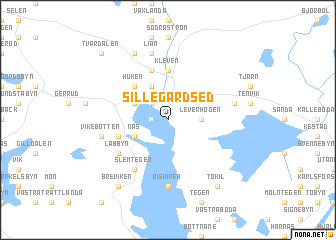
Sillegårdsed (Värmland, Sweden)Sillegårdsed is a town in the Värmland region of Sweden. An overview map of the region around Sillegårdsed is displayed below.
regional and 3d topo map of Sillegårdsed, Sweden ::
Sillegårdsed airports ::
The nearest airport is OSL - Oslo Gardermoen, located 109.4 km north west of Sillegårdsed.
Other airports nearby include TRF - Torp (109.7 km west), LDK - Lidkoping (116.4 km south east), THN - Trollhattan Vanersborg (117.3 km south), KVB - Skovde (146.0 km south east), Nearby towns ::
Strand (0.9km west) //
Årjäng (2.1km north west) //
Leverhögen (1.9km east) //
Högerud (2.6km north west) //
Backa (3.8km north) //
Näs (2.6km south west) //
Huken (4.2km north west) //
Kleven (5.6km north) //
Åslanda (5.6km north) //
Lysed (3.4km south west) //
Slemtegen (5.9km south) //
Låbbyn (4.7km south west) //
Risviken (7.4km south) //
Lian (7.5km north) //
Långelanda (7.5km north) //
Åsebyn (4.2km north east) //
Vikebotten (4.2km south west) //
Gallerud (7.6km north) //
Tokil (7.9km south) //
Breviken (7.9km south) //
Tvärdalen (8.3km north west) //
[all distances 'as the bird flies' and approximate] 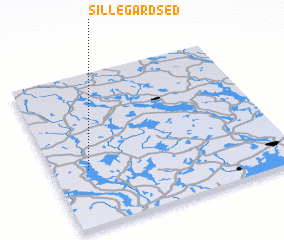 Places with similar names to Sillegårdsed, Sweden :: Disclaimer :: Information on this page comes without warranty of any kind |
||
|
Where is Sillegårdsed? Elevation and coordinates ::
Latitude (lat): 59°22'0"N Longitude (lon): 12°9'0"E
Elevation (approx.): 142m (map arrows pan, magnifying glasses zoom) |
||
|
Visiting Sillegårdsed? Hotel/Accommodation ::
Book a hotel in Sillegårdsed Travel Guide ::
Buy a travel guide for Sweden rental cars ::
car rental offers GPS waypoint ::
download a GPX waypoint (PoI) of Sillegårdsed for your GPS receiver
|
||