|
search place name
|
||
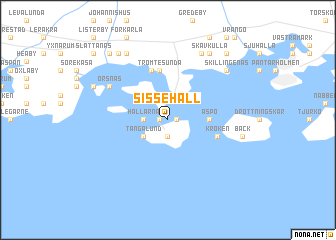
Sissehall (Blekinge, Sweden)Sissehall is a town in the Blekinge region of Sweden. An overview map of the region around Sissehall is displayed below.
regional and 3d topo map of Sissehall, Sweden ::
Sissehall airports ::
The nearest airport is RNB - Ronneby, located 21.2 km north west of Sissehall.
Other airports nearby include KLR - Kalkmar Kalmar (80.8 km north east), KID - Kristianstad (89.3 km west), VXO - Vaxjo Kronoberg (101.5 km north west), RNN - Bornholm Ronne (125.7 km south), Nearby towns ::
Bredavik (0.5km west) //
Hasslö (0.5km east) //
Garpen (1.9km south) //
Hallarna (1.5km west) //
Tångalund (2.4km south west) //
Aspö (2.6km east) //
Äsketorp (5.6km north) //
Tromtesunda (5.6km north) //
Hjortahammar (5.7km north) //
Kroken (3.6km south east) //
Jordö (5.2km north west) //
Örsnäs (5.2km north west) //
Grönadal (7.7km north) //
Skillingenäs (6.6km north east) //
Bäck (5.0km east) //
Lilla Vambåsa (7.8km north) //
Skavkulla (7.8km north) //
Torkö (5.9km north west) //
Saltäng (8.0km north west) //
Östranäs (8.2km north west) //
Mjövik (8.2km north east) //
Slättanäs (8.7km north west) //
[all distances 'as the bird flies' and approximate] 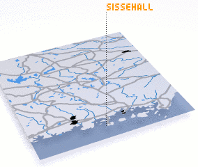
Disclaimer :: Information on this page comes without warranty of any kind |
||
|
Where is Sissehall? Elevation and coordinates ::
Latitude (lat): 56°7'0"N Longitude (lon): 15°28'30"E
Elevation (approx.): 8m (map arrows pan, magnifying glasses zoom) |
||
|
Visiting Sissehall? Hotel/Accommodation ::
Book a hotel in Sissehall Travel Guide ::
Buy a travel guide for Sweden rental cars ::
car rental offers GPS waypoint ::
download a GPX waypoint (PoI) of Sissehall for your GPS receiver
|
||