|
search place name
|
||
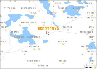
Skårtaryd (Kronoberg, Sweden)Skårtaryd is a town in the Kronoberg region of Sweden. An overview map of the region around Skårtaryd is displayed below.
regional and 3d topo map of Skårtaryd, Sweden ::
Skårtaryd airports ::
The nearest airport is VXO - Vaxjo Kronoberg, located 20.2 km south west of Skårtaryd.
Other airports nearby include HLF - Hultsfred (75.5 km north east), RNB - Ronneby (82.9 km south), KLR - Kalkmar Kalmar (84.2 km south east), OSK - Oskarshamn (96.8 km north east), Nearby towns ::
Eke (3.8km north) //
Norra Åreda (3.6km south west) //
Björnamo (5.9km south) //
Ramnåsa (4.8km south east) //
Braås (7.5km north) //
Dädesjö (4.4km north east) //
Häljaryd (6.3km south west) //
Östra Målajord (5.5km north west) //
Drev (8.0km north) //
[all distances 'as the bird flies' and approximate] 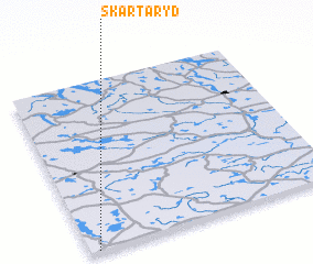 Places with similar names to Skårtaryd, Sweden ::
// Schröteroda (DE)
// Skräddaröd (SE)
Disclaimer :: Information on this page comes without warranty of any kind |
||
|
Where is Skårtaryd? Elevation and coordinates ::
Latitude (lat): 57°0'0"N Longitude (lon): 15°2'0"E
Elevation (approx.): 219m (map arrows pan, magnifying glasses zoom) |
||
|
Visiting Skårtaryd? Hotel/Accommodation ::
Book a hotel in Skårtaryd Travel Guide ::
Buy a travel guide for Sweden rental cars ::
car rental offers GPS waypoint ::
download a GPX waypoint (PoI) of Skårtaryd for your GPS receiver
|
||