|
search place name
|
||
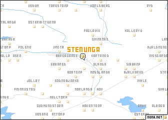
Stenunga ((( Älvsborg )), Sweden)Stenunga is a town in the (( Älvsborg )) region of Sweden. An overview map of the region around Stenunga is displayed below.
regional and 3d topo map of Stenunga, Sweden ::
Stenunga airports ::
The nearest airport is LDK - Lidkoping, located 44.7 km north of Stenunga.
Other airports nearby include THN - Trollhattan Vanersborg (51.7 km north west), GOT - Gothenborg Landvetter (65.6 km south west), JKG - Joenkoeping Jonkoping (67.8 km south east), KVB - Skovde (67.9 km north east), Nearby towns ::
Hudene (1.9km south) //
Bergagärde (2.0km west) //
Kärtared (2.0km east) //
Boatorp (3.8km south) //
Klastorp (3.8km south) //
Ölanda (2.7km south east) //
Gimranäs (4.2km north east) //
Mosslanda (4.2km south east) //
Vreta (3.5km north west) //
Herrljunga (3.5km north west) //
Ebbared (3.5km south west) //
Fåglavik (5.6km north) //
Södra Björke (5.9km south) //
Mörlanda (7.4km south) //
Fröstorp (7.4km south) //
Tåstared (3.9km east) //
Annelund (7.5km south) //
Lystorp (7.5km south) //
Lyckemad (7.7km south) //
Hov (7.7km south) //
Lutebo (6.8km south west) //
[all distances 'as the bird flies' and approximate] 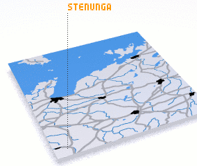 Places with similar names to Stenunga, Sweden ::
// Sidon Anauk (MM)
// Staning (DE)
// Steining (DE)
// Steining (DE)
// Saudininkai (LT)
// Sodininkai (LT)
// Sittanunku (GM)
// Sittanunku (GM)
// Satneng (PG)
// Steyning (GB)
Disclaimer :: Information on this page comes without warranty of any kind |
||
|
Where is Stenunga? Elevation and coordinates ::
Latitude (lat): 58°4'0"N Longitude (lon): 13°5'0"E
Elevation (approx.): 119m (map arrows pan, magnifying glasses zoom) |
||
|
Visiting Stenunga? Hotel/Accommodation ::
Book a hotel in Stenunga Travel Guide ::
Buy a travel guide for Sweden rental cars ::
car rental offers GPS waypoint ::
download a GPX waypoint (PoI) of Stenunga for your GPS receiver
|
||