|
search place name
|
||
Udda (Kalmar, Sweden)Udda is a town in the Kalmar region of Sweden. An overview map of the region around Udda is displayed below.
regional and 3d topo map of Udda, Sweden ::

Udda airports ::
The nearest airport is OSK - Oskarshamn, located 51.8 km south of Udda.
Other airports nearby include HLF - Hultsfred (59.1 km south west), LPI - Linkoeping Saab (88.4 km north west), NRK - Norrkoeping Kungsangen (90.1 km north), VBY - Visby (101.5 km east), Nearby towns ::
Örviken (0.8km south) //
Aska (1.4km south east) //
Sjöäng (2.7km south) //
Ekhagen (3.0km south) //
Lugnet (2.5km south west) //
Torrö (2.9km south east) //
Malmö (2.4km north east) //
Piperskärr (3.2km south west) //
Mellanmalmö (2.6km east) //
Udden (3.7km south west) //
Löksundet (3.4km south east) //
Brevik (4.9km south west) //
Djurgården (4.7km south west) //
Västervik (6.6km south) //
Örbäcken (7.7km south) //
Hasselö (5.1km north east) //
Lilla Grundemar (8.3km north) //
Äppleudden (4.6km west) //
Stora Grundemar (8.6km north) //
Lilla Sund (6.9km north west) //
Jenny (6.5km south west) //
Risebo (8.9km north east) //
Stora Sund (9.1km north west) //
[all distances 'as the bird flies' and approximate] 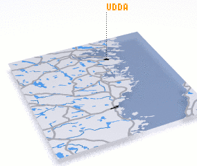 Places with similar names to Udda, Sweden ::
Disclaimer :: Information on this page comes without warranty of any kind |
||
|
Where is Udda? Elevation and coordinates ::
Latitude (lat): 57°48'25"N Longitude (lon): 16°39'48"E
Elevation (approx.): 15m (map arrows pan, magnifying glasses zoom) |
||
|
Visiting Udda? Hotel/Accommodation ::
Book a hotel in Udda Travel Guide ::
Buy a travel guide for Sweden rental cars ::
car rental offers GPS waypoint ::
download a GPX waypoint (PoI) of Udda for your GPS receiver
|
||