|
search place name
|
||
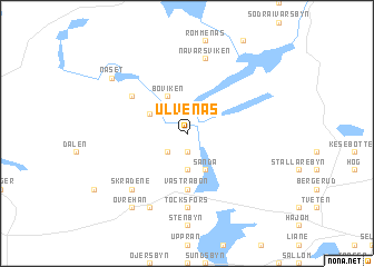
Ulvenäs (Värmland, Sweden)Ulvenäs is a town in the Värmland region of Sweden. An overview map of the region around Ulvenäs is displayed below.
regional and 3d topo map of Ulvenäs, Sweden ::
Ulvenäs airports ::
The nearest airport is OSL - Oslo Gardermoen, located 81.0 km north west of Ulvenäs.
Other airports nearby include TRF - Torp (99.0 km south west), THN - Trollhattan Vanersborg (142.2 km south), LDK - Lidkoping (144.8 km south east), GSE - Gothenborg Save (199.6 km south), Nearby towns ::
Gottarsbyn (1.9km south) //
Stommen (2.1km north west) //
Töresbyn (2.1km south west) //
Elofsbyn (2.1km south west) //
Bryngelsbyn (3.7km south) //
Amunderud (2.6km north west) //
Boda (2.6km north west) //
Boviken (3.8km north) //
Sanda (3.8km south) //
Östegård (3.8km south) //
Västra Bön (5.6km south) //
Östra Bön (5.6km south) //
Navarsvikkroken (4.7km north west) //
Töcksfors (7.4km south) //
Skarbol (7.4km south) //
Navarsviken (7.5km north) //
Skrädene (6.2km south west) //
Ärtetjärn (7.6km south) //
Backa (7.6km south) //
Näset (6.7km north west) //
Nedre Hån (7.9km south) //
Övre Hån (7.9km south) //
[all distances 'as the bird flies' and approximate] 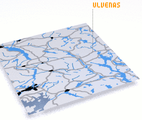 Places with similar names to Ulvenäs, Sweden ::
// Ulvnäs (SE)
Disclaimer :: Information on this page comes without warranty of any kind |
||
|
Where is Ulvenäs? Elevation and coordinates ::
Latitude (lat): 59°34'0"N Longitude (lon): 11°50'0"E
Elevation (approx.): 121m (map arrows pan, magnifying glasses zoom) |
||
|
Visiting Ulvenäs? Hotel/Accommodation ::
Book a hotel in Ulvenäs Travel Guide ::
Buy a travel guide for Sweden rental cars ::
car rental offers GPS waypoint ::
download a GPX waypoint (PoI) of Ulvenäs for your GPS receiver
|
||