|
search place name
|
||
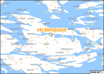
Valborgsudde (Stockholm, Sweden)Valborgsudde is a town in the Stockholm region of Sweden. An overview map of the region around Valborgsudde is displayed below.
regional and 3d topo map of Valborgsudde, Sweden ::
Valborgsudde airports ::
The nearest airport is BMA - Stockholm Bromma, located 35.6 km west of Valborgsudde.
Other airports nearby include ARN - Stockholm Arlanda (49.8 km north west), VST - Vasteras (112.8 km west), NYO - Stockholm Skavsta (113.6 km south west), MHQ - Mariehamn (114.1 km north east), Nearby towns ::
Storsved (0.8km north east) //
Norra Kopparmora (1.0km south east) //
Norra Evlinge (1.1km west) //
Södra Evlinge (1.3km west) //
Älvsby (2.1km south west) //
Kopparmora (2.1km south east) //
Johannesberg (2.8km north) //
Saltarö (1.9km east) //
Norråva (3.8km north) //
Nora (3.8km south) //
Boda (2.6km north east) //
Kolviken (2.3km east) //
Fiskartäppan (2.4km west) //
Kråklund (3.8km north west) //
Ängsvik (2.8km west) //
Skärmarö (3.4km south east) //
Dalen (6.8km south) //
Klippan (7.0km south) //
Kalvsvik (3.8km east) //
Värmdö (3.8km west) //
Grinda (7.4km north) //
Kannan (4.1km north east) //
Ramsdalen (3.9km east) //
Östertorp (7.4km south) //
Överby (4.2km north east) //
Abborkroken (4.4km north east) //
Stenskedet (7.4km south) //
Fagerdala (6.2km south east) //
Kapellet (6.9km south) //
[all distances 'as the bird flies' and approximate] 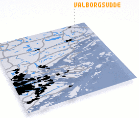 Places with similar names to Valborgsudde, Sweden :: Disclaimer :: Information on this page comes without warranty of any kind |
||
|
Where is Valborgsudde? Elevation and coordinates ::
Latitude (lat): 59°21'0"N Longitude (lon): 18°34'0"E
(map arrows pan, magnifying glasses zoom) |
||
|
Visiting Valborgsudde? Hotel/Accommodation ::
Book a hotel in Valborgsudde Travel Guide ::
Buy a travel guide for Sweden rental cars ::
car rental offers GPS waypoint ::
download a GPX waypoint (PoI) of Valborgsudde for your GPS receiver
|
||