|
search place name
|
||
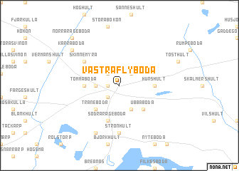
Västra Flyboda ((( Kristianstad )), Sweden)Västra Flyboda is a town in the (( Kristianstad )) region of Sweden. An overview map of the region around Västra Flyboda is displayed below.
regional and 3d topo map of Västra Flyboda, Sweden ::
Västra Flyboda airports ::
The nearest airport is KID - Kristianstad, located 55.4 km south of Västra Flyboda.
Other airports nearby include RNB - Ronneby (59.5 km east), VXO - Vaxjo Kronoberg (63.7 km north), HAD - Halmstad (98.6 km west), JLD - Landskrona (104.1 km south west), Nearby towns ::
Lönsboda (1.0km west) //
Gisslaboda (2.1km south west) //
Åbuen (2.1km north west) //
Duvhult (2.1km north west) //
Olastorp (2.1km north east) //
Östra Flyboda (2.1km west) //
Gylsboda (3.8km south) //
Traneboda (4.2km south west) //
Ubbaboda (4.2km south east) //
Tommaboda (3.1km west) //
Hunshult (3.1km east) //
Södra Rågeboda (5.7km south) //
Skinnemyra (4.8km north west) //
Strönhult (7.4km south) //
Kruseboda (7.7km south) //
Kärraboda (6.9km north west) //
Norra Rågeboda (8.5km north west) //
[all distances 'as the bird flies' and approximate] 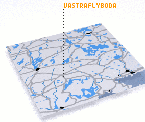 Places with similar names to Västra Flyboda, Sweden :: Disclaimer :: Information on this page comes without warranty of any kind |
||
|
Where is Västra Flyboda? Elevation and coordinates ::
Latitude (lat): 56°24'0"N Longitude (lon): 14°20'0"E
Elevation (approx.): 145m (map arrows pan, magnifying glasses zoom) |
||
|
Visiting Västra Flyboda? Hotel/Accommodation ::
Book a hotel in Västra Flyboda Travel Guide ::
Buy a travel guide for Sweden rental cars ::
car rental offers GPS waypoint ::
download a GPX waypoint (PoI) of Västra Flyboda for your GPS receiver
|
||