|
search place name
|
||
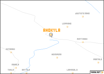
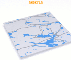
Ahokylä (Oulu, Finland)Ahokylä is a town in the Oulu region of Finland. An overview map of the region around Ahokylä is displayed below.
regional and 3d topo map of Ahokylä, Finland ::
Ahokylä airports ::
The nearest airport is KAJ - Kajaani, located 65.0 km north east of Ahokylä.
Other airports nearby include OUL - Oulu (120.2 km north west), KUO - Kuopio (125.3 km south east), JYV - Jyvaskyla (181.9 km south), VRK - Varkaus (212.7 km south), Nearby towns ::
Disclaimer :: Information on this page comes without warranty of any kind |
||
|
Where is Ahokylä? Elevation and coordinates ::
Latitude (lat): 63°59'0"N Longitude (lon): 26°33'0"E
(map arrows pan, magnifying glasses zoom) |
||
|
Visiting Ahokylä? Hotel/Accommodation ::
Book a hotel in Ahokylä Travel Guide ::
Buy a travel guide for Finland rental cars ::
car rental offers GPS waypoint ::
download a GPX waypoint (PoI) of Ahokylä for your GPS receiver
|
||