|
search place name
|
||
Alapaakkola (Lappi, Finland)Alapaakkola is a town in the Lappi region of Finland. An overview map of the region around Alapaakkola is displayed below.
regional and 3d topo map of Alapaakkola, Finland ::

Alapaakkola airports ::
The nearest airport is KEM - Kemi Tornio, located 17.7 km south of Alapaakkola.
Other airports nearby include RVN - Rovaniemi (86.4 km north east), OUL - Oulu (115.7 km south), SOT - Sodankyla (183.4 km north east), KTT - Kittila (197.2 km north), Nearby towns ::
Koskenkylä (0.8km west) //
Itäkoski (4.3km north east) //
Koroiskylä (6.3km south west) //
[all distances 'as the bird flies' and approximate] 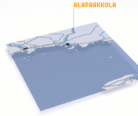
Disclaimer :: Information on this page comes without warranty of any kind |
||
|
Where is Alapaakkola? Elevation and coordinates ::
Latitude (lat): 65°56'0"N Longitude (lon): 24°43'0"E
(map arrows pan, magnifying glasses zoom) |
||
|
Visiting Alapaakkola? Hotel/Accommodation ::
Book a hotel in Alapaakkola Travel Guide ::
Buy a travel guide for Finland rental cars ::
car rental offers GPS waypoint ::
download a GPX waypoint (PoI) of Alapaakkola for your GPS receiver
|
||