|
search place name
|
||
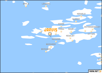
Järvis (Länsi-Suomen Lääni, Finland)Järvis is a town in the Länsi-Suomen Lääni region of Finland. An overview map of the region around Järvis is displayed below.
regional and 3d topo map of Järvis, Finland ::
Järvis airports ::
The nearest airport is TKU - Turku, located 62.9 km north east of Järvis.
Other airports nearby include MHQ - Mariehamn (79.2 km west), POR - Pori (143.0 km north), Nearby towns ::
Hedebo (1.3km north east) //
Roslax (2.1km north east) //
Hönsnäs (2.1km south east) //
Berghamn (3.7km south) //
Träsk (2.6km north east) //
Hyppeis (2.6km north west) //
Kivimo (4.1km north east) //
Berghamn (5.6km south) //
Medelby (3.6km east) //
Vikos (4.0km north east) //
Näsby (4.1km north east) //
Houtskär (4.1km north east) //
Houtskari (4.1km north east) //
Medelby Strand (4.2km east) //
[all distances 'as the bird flies' and approximate] 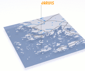 Places with similar names to Järvis, Finland ::
Disclaimer :: Information on this page comes without warranty of any kind |
||
|
Where is Järvis? Elevation and coordinates ::
Latitude (lat): 60°12'0"N Longitude (lon): 21°19'0"E
(map arrows pan, magnifying glasses zoom) |
||
|
Visiting Järvis? Hotel/Accommodation ::
Book a hotel in Järvis Travel Guide ::
Buy a travel guide for Finland rental cars ::
car rental offers GPS waypoint ::
download a GPX waypoint (PoI) of Järvis for your GPS receiver
|
||