|
search place name
|
||
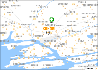
Kähäri (Länsi-Suomen Lääni, Finland)Kähäri is a town in the Länsi-Suomen Lääni region of Finland. An overview map of the region around Kähäri is displayed below.
regional and 3d topo map of Kähäri, Finland ::
Kähäri airports ::
The nearest airport is TKU - Turku, located 5.8 km north of Kähäri.
Other airports nearby include POR - Pori (114.0 km north), TMP - Tampere Pirkkala (128.9 km north east), Nearby towns ::
Vätti (0.8km north east) //
Teräsrautela (1.8km north) //
Ruohonpää (1.0km west) //
Suikkila (1.2km north west) //
Mälikkälä (1.8km north west) //
Raunistula (1.5km east) //
Runosmäki (3.0km north) //
Kastu (1.7km north east) //
Kaerla (2.0km north east) //
Vähä-Heikkilä (3.2km south) //
Iso-Heikkilä (2.2km south west) //
Turku (2.2km south east) //
Åbo (2.2km south east) //
Korppolaismäki (3.6km south) //
Puistomäki (3.7km south) //
Pihlajaniemi (3.9km south) //
Pahaniemi (2.4km south west) //
Mäntymäki (3.4km south east) //
Luolavuori (3.9km south) //
Hauninen (4.3km north) //
Kupitaa (2.8km south east) //
Kuninkoja (4.3km north) //
Maksla (4.2km north) //
Koroinen (2.4km east) //
Kärsämäki (3.4km north east) //
Lauttaranta (4.5km south) //
Moikoinen (5.3km south) //
Ylikylä (5.2km south) //
Syvälahti (5.2km south) //
[all distances 'as the bird flies' and approximate] 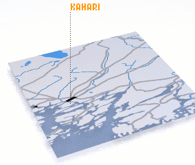 Places with similar names to Kähäri, Finland ::
Disclaimer :: Information on this page comes without warranty of any kind |
||
|
Where is Kähäri? Elevation and coordinates ::
Latitude (lat): 60°27'44"N Longitude (lon): 22°15'10"E
(map arrows pan, magnifying glasses zoom) |
||
|
Visiting Kähäri? Hotel/Accommodation ::
Book a hotel in Kähäri Travel Guide ::
Buy a travel guide for Finland rental cars ::
car rental offers GPS waypoint ::
download a GPX waypoint (PoI) of Kähäri for your GPS receiver
|
||