|
search place name
|
||
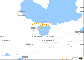
Kannuskylä (Länsi-Suomen Lääni, Finland)Kannuskylä is a town in the Länsi-Suomen Lääni region of Finland. An overview map of the region around Kannuskylä is displayed below.
regional and 3d topo map of Kannuskylä, Finland ::
Kannuskylä airports ::
The nearest airport is KAU - Kauhava, located 30.1 km west of Kannuskylä.
Other airports nearby include KOK - Kruunupyy (77.0 km north), VAA - Vaasa (94.6 km west), KEV - Halli (147.5 km south east), TMP - Tampere Pirkkala (184.2 km south), Nearby towns ::
Eskeli (1.7km west) //
Ahola (2.5km north west) //
Myllykangas (3.8km south) //
Haukkala (4.1km south east) //
Storhök (4.1km south east) //
Lillhök (4.1km south east) //
Sissala (5.6km south) //
Isoniemi (3.1km north east) //
Anttila (5.6km south) //
Ahopelto (5.8km south) //
Olli (5.0km north west) //
Lepistö (7.8km south) //
[all distances 'as the bird flies' and approximate] 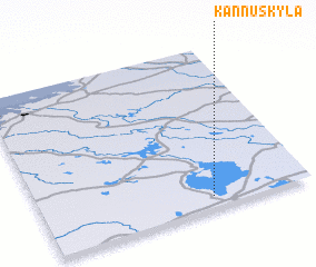 Places with similar names to Kannuskylä, Finland ::
// Kauniskallio (RU)
// Kinsukulu (CD)
// Ganzikolo (CG)
// Kansagali (TZ)
// Konséguéla (ML)
// Konsogoulé (ML)
// Kanāzai Kili (PK)
// K'ŭnsagol (KR)
// K'ŭnsa-gol (KP)
// Kannuskylä (FI)
Disclaimer :: Information on this page comes without warranty of any kind |
||
|
Where is Kannuskylä? Elevation and coordinates ::
Latitude (lat): 63°4'0"N Longitude (lon): 23°38'0"E
(map arrows pan, magnifying glasses zoom) |
||
|
Visiting Kannuskylä? Hotel/Accommodation ::
Book a hotel in Kannuskylä Travel Guide ::
Buy a travel guide for Finland rental cars ::
car rental offers GPS waypoint ::
download a GPX waypoint (PoI) of Kannuskylä for your GPS receiver
|
||