|
search place name
|
||
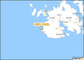
Karlsdal (Ahvenanmaa, Finland)Karlsdal is a town in the Ahvenanmaa region of Finland. An overview map of the region around Karlsdal is displayed below.
regional and 3d topo map of Karlsdal, Finland ::
Karlsdal airports ::
The nearest airport is MHQ - Mariehamn, located 21.7 km east of Karlsdal.
Other airports nearby include ARN - Stockholm Arlanda (107.2 km south west), BMA - Stockholm Bromma (127.7 km south west), Nearby towns ::
Kalsborg (0.6km south east) //
Skeppsvik (1.4km south east) //
Furulund (3.2km east) //
Storby (4.9km north east) //
Torp (3.4km east) //
Brännskär (7.2km north) //
Hummelvik (7.5km north) //
Östra Mangsjö (4.1km east) //
Bonäs (4.1km east) //
Degersand (5.3km south east) //
Böle (6.9km north east) //
[all distances 'as the bird flies' and approximate] 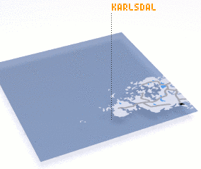
Disclaimer :: Information on this page comes without warranty of any kind |
||
|
Where is Karlsdal? Elevation and coordinates ::
Latitude (lat): 60°10'41"N Longitude (lon): 19°31'24"E
(map arrows pan, magnifying glasses zoom) |
||
|
Visiting Karlsdal? Hotel/Accommodation ::
Book a hotel in Karlsdal Travel Guide ::
Buy a travel guide for Finland rental cars ::
car rental offers GPS waypoint ::
download a GPX waypoint (PoI) of Karlsdal for your GPS receiver
|
||