|
search place name
|
||
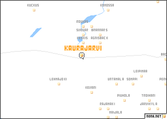
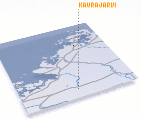
Kaurajärvi (Länsi-Suomen Lääni, Finland)Kaurajärvi is a town in the Länsi-Suomen Lääni region of Finland. An overview map of the region around Kaurajärvi is displayed below.
regional and 3d topo map of Kaurajärvi, Finland ::
Kaurajärvi airports ::
The nearest airport is KAU - Kauhava, located 27.9 km east of Kaurajärvi.
Other airports nearby include VAA - Vaasa (38.0 km west), KOK - Kruunupyy (74.6 km north east), SFT - Skelleftea (182.1 km north), POR - Pori (188.0 km south), Nearby towns ::
 Places with similar names to Kaurajärvi, Finland ::
// Karijärve (EE)
// Korijärve (EE)
// Kurajärvi (SE)
// Karajärvi (FI)
// Karijärvi (FI)
// Koirajärvi (FI)
// Kuorejärvi (FI)
Disclaimer :: Information on this page comes without warranty of any kind |
||
|
Where is Kaurajärvi? Elevation and coordinates ::
Latitude (lat): 63°7'0"N Longitude (lon): 22°30'0"E
(map arrows pan, magnifying glasses zoom) |
||
|
Visiting Kaurajärvi? Hotel/Accommodation ::
Book a hotel in Kaurajärvi Travel Guide ::
Buy a travel guide for Finland rental cars ::
car rental offers GPS waypoint ::
download a GPX waypoint (PoI) of Kaurajärvi for your GPS receiver
|
||