|
search place name
|
||
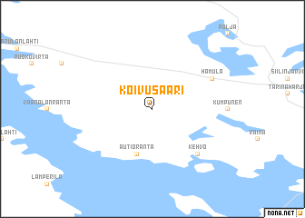
Koivusaari (Itä-Suomen Lääni, Finland)Koivusaari is a town in the Itä-Suomen Lääni region of Finland. An overview map of the region around Koivusaari is displayed below.
regional and 3d topo map of Koivusaari, Finland ::
Koivusaari airports ::
The nearest airport is KUO - Kuopio, located 15.0 km east of Koivusaari.
Other airports nearby include VRK - Varkaus (99.6 km south), JYV - Jyvaskyla (118.7 km south west), KAJ - Kajaani (138.0 km north), SVL - Savonlinna (143.7 km south east), Nearby towns ::
Autioranta (5.6km south) //
Kehvo (6.1km south east) //
Hamula (5.0km north east) //
[all distances 'as the bird flies' and approximate] 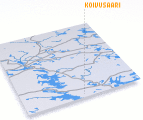 Places with similar names to Koivusaari, Finland ::
// Kaevussaare (EE)
// Kivisaare (EE)
// Gāvsar (IR)
// Gāvsīr (IR)
// Gāv Sūr (IR)
// Gavsar' (RU)
// Gvazauri (GE)
// Kauvosaari (FI)
// Kivisaari (FI)
// Kuivasaari (FI)
Disclaimer :: Information on this page comes without warranty of any kind |
||
|
Where is Koivusaari? Elevation and coordinates ::
Latitude (lat): 63°3'0"N Longitude (lon): 27°31'0"E
(map arrows pan, magnifying glasses zoom) |
||
|
Visiting Koivusaari? Hotel/Accommodation ::
Book a hotel in Koivusaari Travel Guide ::
Buy a travel guide for Finland rental cars ::
car rental offers GPS waypoint ::
download a GPX waypoint (PoI) of Koivusaari for your GPS receiver
|
||