|
search place name
|
||
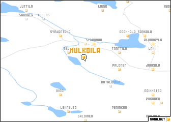
Mulkoila (Etelä-Suomen Lääni, Finland)Mulkoila is a town in the Etelä-Suomen Lääni region of Finland. An overview map of the region around Mulkoila is displayed below.
regional and 3d topo map of Mulkoila, Finland ::
Mulkoila airports ::
The nearest airport is TMP - Tampere Pirkkala, located 78.8 km north west of Mulkoila.
Other airports nearby include HEL - Helsinki Vantaa (83.6 km south), KEV - Halli (88.1 km north), HEM - Helsinki Malmi (90.9 km south), JYV - Jyvaskyla (154.4 km north), Nearby towns ::
Pohjoinen (3.7km north) //
Teuro (2.6km north west) //
Syrjäntaka (2.6km north west) //
Sydänmaa (3.8km north) //
Tanttila (4.0km north east) //
Palonen (4.0km south east) //
Kataloinen (6.2km south east) //
Syrjäntaka (6.2km north west) //
Kirri (7.9km south) //
[all distances 'as the bird flies' and approximate] 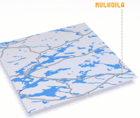 Places with similar names to Mulkoila, Finland ::
// Mawlaikkale (MM)
// Mèlako-alè (MM)
// Mǝlikli (AZ)
// Mǝlikli (AZ)
// Melikli (AZ)
// Melikli (AZ)
// Mülkülü (AZ)
// Milkel (DE)
// Mäliküla (EE)
// Mala Kula (BA)
Disclaimer :: Information on this page comes without warranty of any kind |
||
|
Where is Mulkoila? Elevation and coordinates ::
Latitude (lat): 61°4'0"N Longitude (lon): 24°53'0"E
(map arrows pan, magnifying glasses zoom) |
||
|
Visiting Mulkoila? Hotel/Accommodation ::
Book a hotel in Mulkoila Travel Guide ::
Buy a travel guide for Finland rental cars ::
car rental offers GPS waypoint ::
download a GPX waypoint (PoI) of Mulkoila for your GPS receiver
|
||