|
search place name
|
||
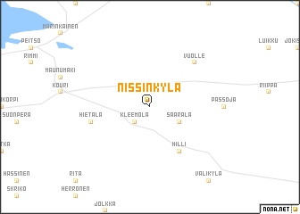
Nissinkylä (Länsi-Suomen Lääni, Finland)Nissinkylä is a town in the Länsi-Suomen Lääni region of Finland. An overview map of the region around Nissinkylä is displayed below.
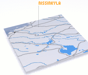
regional and 3d topo map of Nissinkylä, Finland ::
Nissinkylä airports ::
The nearest airport is KOK - Kruunupyy, located 24.0 km south west of Nissinkylä.
Other airports nearby include KAU - Kauhava (84.1 km south), VAA - Vaasa (125.5 km south west), OUL - Oulu (149.1 km north east), LLA - Lulea Kallax (200.5 km north), Nearby towns ::
 Places with similar names to Nissinkylä, Finland ::
// Nizhniy Kuloy (RU)
// Nsangala (UG)
// Nsankula (ZM)
// Nasanggalau (FJ)
// Nsungli (CM)
// Nišno Kolo (CS)
Disclaimer :: Information on this page comes without warranty of any kind |
||
|
Where is Nissinkylä? Elevation and coordinates ::
Latitude (lat): 63°51'0"N Longitude (lon): 23°32'0"E
(map arrows pan, magnifying glasses zoom) |
||
|
Visiting Nissinkylä? Hotel/Accommodation ::
Book a hotel in Nissinkylä Travel Guide ::
Buy a travel guide for Finland rental cars ::
car rental offers GPS waypoint ::
download a GPX waypoint (PoI) of Nissinkylä for your GPS receiver
|
||