|
search place name
|
||
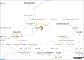
Peninkylä (Länsi-Suomen Lääni, Finland)Peninkylä is a town in the Länsi-Suomen Lääni region of Finland. An overview map of the region around Peninkylä is displayed below.
regional and 3d topo map of Peninkylä, Finland ::
Peninkylä airports ::
The nearest airport is VAA - Vaasa, located 80.4 km north of Peninkylä.
Other airports nearby include POR - Pori (97.7 km south), KAU - Kauhava (115.5 km north east), KOK - Kruunupyy (173.3 km north east), UME - Umea (175.7 km north), Nearby towns ::
Åback (NaNkm north) //
Liden (0.9km west) //
Storåsinloukko (3.8km north) //
Eteläpää (4.1km north west) //
Välikylä (3.2km north west) //
Stångbränn (3.2km north west) //
Fältas (4.5km north east) //
Pikku-Myrkky (6.1km north west) //
Myrkky (6.1km north west) //
Idbäcken (7.6km south) //
Kullan (7.9km south) //
Ingvesholmen (7.9km south) //
Lintuvuori (6.5km south east) //
Isokorpi (8.2km south east) //
Nyskiftan (8.2km south west) //
[all distances 'as the bird flies' and approximate] 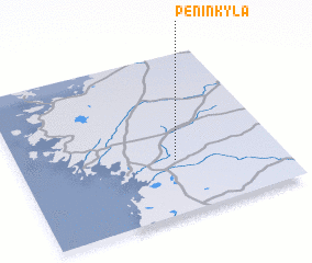 Places with similar names to Peninkylä, Finland ::
// Pein Ingale (MM)
// Poiana Nucului (RO)
// Piana-Nkulu (CD)
// Penanggal (ID)
// Panangala (LK)
// Paenŭng-gol (KP)
// Pinangalo (PH)
Disclaimer :: Information on this page comes without warranty of any kind |
||
|
Where is Peninkylä? Elevation and coordinates ::
Latitude (lat): 62°20'0"N Longitude (lon): 21°36'0"E
(map arrows pan, magnifying glasses zoom) |
||
|
Visiting Peninkylä? Hotel/Accommodation ::
Book a hotel in Peninkylä Travel Guide ::
Buy a travel guide for Finland rental cars ::
car rental offers GPS waypoint ::
download a GPX waypoint (PoI) of Peninkylä for your GPS receiver
|
||