|
search place name
|
||
Ruotsala (Lappi, Finland)Ruotsala is a town in the Lappi region of Finland. An overview map of the region around Ruotsala is displayed below.
regional and 3d topo map of Ruotsala, Finland ::

Ruotsala airports ::
The nearest airport is RVN - Rovaniemi, located 75.8 km west of Ruotsala.
Other airports nearby include SOT - Sodankyla (84.8 km north west), KAO - Kuusamo (112.6 km south east), IVL - Ivalo (210.9 km north), Nearby towns ::
Sipovaara (0.7km west) //
Halonen (3.7km south) //
Kangas (3.8km south) //
Helmelä (4.0km north) //
Paavola (5.6km south) //
Kujala (5.6km south) //
Halosenranta (5.6km south) //
Palola (5.6km south) //
Kulppio (5.6km south) //
Isoranta (3.5km south east) //
Juvälä (3.5km south west) //
Kelloniemi (7.6km south) //
Sipola (4.7km south east) //
Kostamo (7.7km north) //
[all distances 'as the bird flies' and approximate] 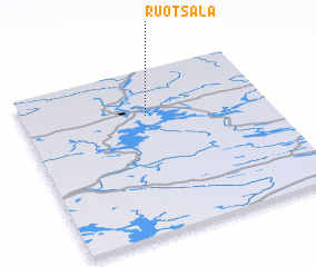 Places with similar names to Ruotsala, Finland ::
// Rio do Sal (BR)
// Rio do Sal (BR)
// Ratzell (AT)
// Ratzel (DE)
// Rotsel (DE)
// Radziłów (PL)
// Riitsilla (EE)
// Ridžali (BA)
// Rotseli (ID)
// Rietzel (DE)
Disclaimer :: Information on this page comes without warranty of any kind |
||
|
Where is Ruotsala? Elevation and coordinates ::
Latitude (lat): 66°43'0"N Longitude (lon): 27°30'0"E
(map arrows pan, magnifying glasses zoom) |
||
|
Visiting Ruotsala? Hotel/Accommodation ::
Book a hotel in Ruotsala Travel Guide ::
Buy a travel guide for Finland rental cars ::
car rental offers GPS waypoint ::
download a GPX waypoint (PoI) of Ruotsala for your GPS receiver
|
||