|
search place name
|
||
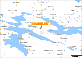
Saijanlahti (Oulu, Finland)Saijanlahti is a town in the Oulu region of Finland. An overview map of the region around Saijanlahti is displayed below.
regional and 3d topo map of Saijanlahti, Finland ::
Saijanlahti airports ::
The nearest airport is KAJ - Kajaani, located 42.1 km north west of Saijanlahti.
Other airports nearby include KUO - Kuopio (128.1 km south), JOE - Joensuu (171.8 km south), KAO - Kuusamo (211.7 km north), VRK - Varkaus (218.9 km south), Nearby towns ::
Uusitalo (1.9km north) //
Piippola (1.9km south) //
Pelkola (1.6km west) //
Sirviölä (5.6km north) //
Sotkamo (3.1km north west) //
Rytilahti (3.1km north west) //
Juohtela (5.6km north) //
Ahola (3.1km south east) //
Varpuniemi (3.1km south west) //
Pyörälä (4.4km south west) //
Karppala (7.4km north) //
Ylisotkamo (7.4km north) //
Leppilä (6.1km north east) //
Jouhtensuo (8.1km south east) //
Murtoniemi (8.1km south west) //
[all distances 'as the bird flies' and approximate] 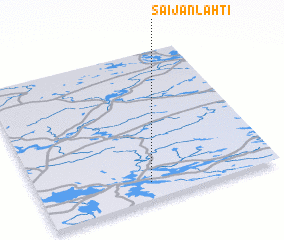 Places with similar names to Saijanlahti, Finland ::
// Saijanlahti (FI)
Disclaimer :: Information on this page comes without warranty of any kind |
||
|
Where is Saijanlahti? Elevation and coordinates ::
Latitude (lat): 64°7'0"N Longitude (lon): 28°28'0"E
(map arrows pan, magnifying glasses zoom) |
||
|
Visiting Saijanlahti? Hotel/Accommodation ::
Book a hotel in Saijanlahti Travel Guide ::
Buy a travel guide for Finland rental cars ::
car rental offers GPS waypoint ::
download a GPX waypoint (PoI) of Saijanlahti for your GPS receiver
|
||