|
search place name
|
||
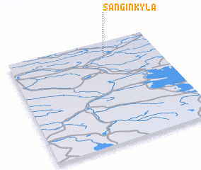
Sanginkylä (Oulu, Finland)Sanginkylä is a town in the Oulu region of Finland. An overview map of the region around Sanginkylä is displayed below.
regional and 3d topo map of Sanginkylä, Finland ::

Sanginkylä airports ::
The nearest airport is OUL - Oulu, located 61.7 km west of Sanginkylä.
Other airports nearby include KAJ - Kajaani (81.8 km south east), RVN - Rovaniemi (193.0 km north), KUO - Kuopio (214.8 km south), Nearby towns ::
 Places with similar names to Sanginkylä, Finland ::
// San Juan Acul (GT)
// Sangingloe (ID)
// Sinjŏng-gol (KP)
// Sinjŏn-gol (KR)
// Sanjŏnggol (KP)
// Sangengluo (CN)
Disclaimer :: Information on this page comes without warranty of any kind |
||
|
Where is Sanginkylä? Elevation and coordinates ::
Latitude (lat): 64°52'0"N Longitude (lon): 26°39'0"E
(map arrows pan, magnifying glasses zoom) |
||
|
Visiting Sanginkylä? Hotel/Accommodation ::
Book a hotel in Sanginkylä Travel Guide ::
Buy a travel guide for Finland rental cars ::
car rental offers GPS waypoint ::
download a GPX waypoint (PoI) of Sanginkylä for your GPS receiver
|
||