|
search place name
|
||
Tennäs (Länsi-Suomen Lääni, Finland)Tennäs is a town in the Länsi-Suomen Lääni region of Finland. An overview map of the region around Tennäs is displayed below.
regional and 3d topo map of Tennäs, Finland ::

Tennäs airports ::
The nearest airport is TKU - Turku, located 22.8 km north of Tennäs.
Other airports nearby include POR - Pori (128.1 km north), TMP - Tampere Pirkkala (146.1 km north east), Nearby towns ::
Mustfinn (1.1km south east) //
Sydmo (2.6km south) //
Eerikvalla (3.5km north) //
Vannais (1.9km east) //
Strandby (4.3km south) //
Sydänperä (3.1km south east) //
Näsudden (4.4km south) //
Nulto (4.4km south) //
Sunnanberg (3.2km south east) //
Niemenkulma (4.0km north east) //
Samppa (5.4km north) //
Bodnäs (3.0km north east) //
Höyttinen (5.3km north) //
Raustvuori (4.1km north east) //
Ontala (4.7km south east) //
Skärmola (5.2km south east) //
Naula (4.5km north east) //
Mörkby (3.7km east) //
Artukka (7.0km north) //
Lampis (3.9km east) //
Petteby (5.7km south east) //
Nikkilä (7.3km north) //
Kulkkilanranta (8.3km north) //
Väster Melö (8.5km south) //
Lillmälö (8.5km south) //
Haverö (8.5km south) //
Kaivonen (7.7km north east) //
Tammisto (8.0km north east) //
Maanpää (9.1km north) //
[all distances 'as the bird flies' and approximate] 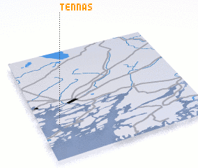 Places with similar names to Tennäs, Finland ::
Disclaimer :: Information on this page comes without warranty of any kind |
||
|
Where is Tennäs? Elevation and coordinates ::
Latitude (lat): 60°19'20"N Longitude (lon): 22°7'0"E
(map arrows pan, magnifying glasses zoom) |
||
|
Visiting Tennäs? Hotel/Accommodation ::
Book a hotel in Tennäs Travel Guide ::
Buy a travel guide for Finland rental cars ::
car rental offers GPS waypoint ::
download a GPX waypoint (PoI) of Tennäs for your GPS receiver
|
||