|
search place name
|
||
Valkama (Etelä-Suomen Lääni, Finland)Valkama is a town in the Etelä-Suomen Lääni region of Finland. An overview map of the region around Valkama is displayed below.
regional and 3d topo map of Valkama, Finland ::

Valkama airports ::
The nearest airport is QVY - Utti, located 38.6 km east of Valkama.
Other airports nearby include HEL - Helsinki Vantaa (91.5 km south west), HEM - Helsinki Malmi (93.1 km south west), LPP - Lappeenranta (105.8 km east), MIK - Mikkeli (106.7 km north east), Nearby towns ::
Leirinmäki (0.9km west) //
Sääskjärvi (2.1km south east) //
Perheniemi (1.8km west) //
Ukkolanmäki (2.6km south east) //
Kujansuu (2.6km north east) //
Erottaja (2.7km west) //
Reiju (4.6km south east) //
Sampola (4.1km north east) //
Jokue (6.2km north east) //
Mankala (7.6km north) //
Muikkula (7.6km south) //
[all distances 'as the bird flies' and approximate] 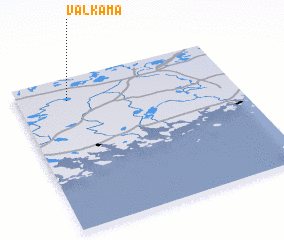 Places with similar names to Valkama, Finland ::
// Valgom (RU)
// Val'kumey (RU)
// Flagami (US)
// Fulkum (DE)
// Veliakiemiai (LT)
// Valgma (EE)
// Valgma (EE)
// Valgma (EE)
// Valea Coma (RO)
// Ghelcam (ET)
Disclaimer :: Information on this page comes without warranty of any kind |
||
|
Where is Valkama? Elevation and coordinates ::
Latitude (lat): 60°51'0"N Longitude (lon): 26°14'0"E
(map arrows pan, magnifying glasses zoom) |
||
|
Visiting Valkama? Hotel/Accommodation ::
Book a hotel in Valkama Travel Guide ::
Buy a travel guide for Finland rental cars ::
car rental offers GPS waypoint ::
download a GPX waypoint (PoI) of Valkama for your GPS receiver
|
||