|
search place name
|
||
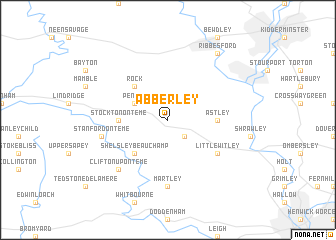
Abberley (United Kingdom)Abberley is a town in United Kingdom. An overview map of the region around Abberley is displayed below.
regional and 3d topo map of Abberley, United Kingdom ::
Abberley airports ::
The nearest airport is BHX - Birmingham, located 45.5 km east of Abberley.
Other airports nearby include GLO - Golouchestershire Gloucestershire (47.2 km south), CVT - Coventry (61.0 km east), FFD - Fairford (79.3 km south east), BZZ - Brize Norton (81.5 km south east), Nearby towns ::
Great Witley (2.2km south east) //
Pensax (2.9km north west) //
Shelsley Beauchamp (4.3km south west) //
Rock (4.3km north west) //
Stockton on Teme (3.4km west) //
Astley (3.4km east) //
Little Witley (5.0km south east) //
Martley (7.4km south) //
Stanford on Teme (4.9km west) //
Clifton upon Teme (6.5km south west) //
Ribbesford (8.2km north east) //
[all distances 'as the bird flies' and approximate] 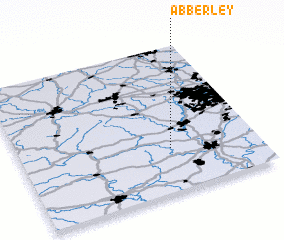 Places with similar names to Abberley, United Kingdom ::
// Ay Buuraaley (SO)
// Abriola (IT)
// Abū Ruʼayl (SY)
// Aberela (NG)
// Aberly (JM)
// Abyraly (KZ)
Disclaimer :: Information on this page comes without warranty of any kind |
||
|
Where is Abberley? Elevation and coordinates ::
Latitude (lat): 52°18'0"N Longitude (lon): 2°22'0"W
Elevation (approx.): 223m (map arrows pan, magnifying glasses zoom) |
||
|
Visiting Abberley? Hotel/Accommodation ::
Book a hotel in Abberley Travel Guide ::
rental cars ::
car rental offers GPS waypoint ::
download a GPX waypoint (PoI) of Abberley for your GPS receiver
|
||