|
search place name
|
||
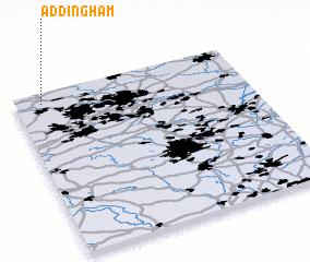
Addingham (United Kingdom)Addingham is a town in United Kingdom. An overview map of the region around Addingham is displayed below.
regional and 3d topo map of Addingham, United Kingdom ::

Addingham airports ::
The nearest airport is LBA - Leeds Bradford, located 16.5 km south east of Addingham.
Other airports nearby include MAN - Manchester (69.5 km south), MME - Teesside Durham Tees Valley Airport (70.6 km north east), BLK - Blackpool (77.5 km west), LPL - Liverpool (92.4 km south west), Nearby towns ::
 Places with similar names to Addingham, United Kingdom ::
// Aït Tnim (MA)
// At Tannūmah (IQ)
// Aidu-Nõmme (EE)
// Ataname (TP)
// At Tannūmah (SA)
// At Tanahma (LY)
// At Tan‘īm (SA)
// ‘Adanim (IL)
// Aitoniemi (FI)
// Aittaniemi (FI)
Disclaimer :: Information on this page comes without warranty of any kind |
||
|
Where is Addingham? Elevation and coordinates ::
Latitude (lat): 53°56'0"N Longitude (lon): 1°53'0"W
Elevation (approx.): 164m (map arrows pan, magnifying glasses zoom) |
||
|
Visiting Addingham? Hotel/Accommodation ::
Book a hotel in Addingham Travel Guide ::
rental cars ::
car rental offers GPS waypoint ::
download a GPX waypoint (PoI) of Addingham for your GPS receiver
|
||