|
search place name
|
||
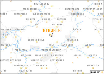
Atworth (United Kingdom)Atworth is a town in United Kingdom. An overview map of the region around Atworth is displayed below.
regional and 3d topo map of Atworth, United Kingdom ::
Atworth airports ::
The nearest airport is LYE - Lyneham, located 19.7 km north east of Atworth.
Other airports nearby include FZO - Bristol Filton (31.1 km north west), BRS - Bristol (36.1 km west), FFD - Fairford (43.8 km north east), YEO - Yeovilton (51.7 km south west), Nearby towns ::
Broughton Gifford (2.2km south east) //
Holt (3.7km south) //
Hawthorn (3.9km north) //
Bradford on Avon (5.6km south) //
South Wraxall (3.9km south west) //
Rudloe (5.7km north) //
Semington (5.1km south east) //
Corsham (6.0km north east) //
Box (5.1km north west) //
Biddlestone (7.4km north) //
Hilperton (7.5km south) //
Melksham (5.0km east) //
Trowbridge (7.8km south) //
Slaughterford (7.8km north) //
Colerne (7.2km north west) //
[all distances 'as the bird flies' and approximate] 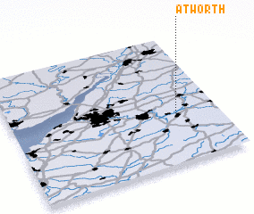 Places with similar names to Atworth, United Kingdom :: Disclaimer :: Information on this page comes without warranty of any kind |
||
|
Where is Atworth? Elevation and coordinates ::
Latitude (lat): 51°23'0"N Longitude (lon): 2°12'0"W
Elevation (approx.): 58m (map arrows pan, magnifying glasses zoom) |
||
|
Visiting Atworth? Hotel/Accommodation ::
Book a hotel in Atworth Travel Guide ::
rental cars ::
car rental offers GPS waypoint ::
download a GPX waypoint (PoI) of Atworth for your GPS receiver
|
||