|
search place name
|
||
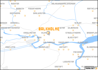
Balkholme (United Kingdom)Balkholme is a town in United Kingdom. An overview map of the region around Balkholme is displayed below.
regional and 3d topo map of Balkholme, United Kingdom ::
Balkholme airports ::
The nearest airport is HUY - Humberside, located 35.5 km south east of Balkholme.
Other airports nearby include LBA - Leeds Bradford (57.5 km west), WTN - Waddington (66.1 km south), QCY - Coningsby (83.4 km south east), MME - Teesside Durham Tees Valley Airport (95.2 km north west), Nearby towns ::
Kilpin (1.1km west) //
Skelton (2.2km south west) //
Laxton (2.2km south east) //
Cotness Hall (2.2km south east) //
Saltmarshe (3.7km south) //
Hook (2.9km south west) //
Eastrington (2.9km north east) //
Howden (3.3km west) //
Swinefleet (5.7km south) //
Goole (3.8km south west) //
Yokefleet (5.0km south east) //
Reedness (6.0km south) //
Knedlington (4.4km west) //
Whitgift (6.5km south east) //
Spaldington (7.7km north) //
Ousefleet (7.1km south east) //
[all distances 'as the bird flies' and approximate] 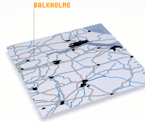 Places with similar names to Balkholme, United Kingdom ::
Disclaimer :: Information on this page comes without warranty of any kind |
||
|
Where is Balkholme? Elevation and coordinates ::
Latitude (lat): 53°44'0"N Longitude (lon): 0°49'0"W
Elevation (approx.): 4m (map arrows pan, magnifying glasses zoom) |
||
|
Visiting Balkholme? Hotel/Accommodation ::
Book a hotel in Balkholme Travel Guide ::
rental cars ::
car rental offers GPS waypoint ::
download a GPX waypoint (PoI) of Balkholme for your GPS receiver
|
||