|
search place name
|
||
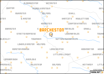
Barcheston (United Kingdom)Barcheston is a town in United Kingdom. An overview map of the region around Barcheston is displayed below.
regional and 3d topo map of Barcheston, United Kingdom ::
Barcheston airports ::
The nearest airport is OXF - Oxford Kidlington, located 29.1 km south east of Barcheston.
Other airports nearby include BZZ - Brize Norton (31.5 km south), CVT - Coventry (38.3 km north), FFD - Fairford (41.2 km south), GLO - Golouchestershire Gloucestershire (41.9 km west), Nearby towns ::
Shipston on Stour (2.2km north west) //
Cherington (2.9km south east) //
Honington (3.9km north) //
Wolford (4.4km south west) //
Todenham (3.9km south west) //
Sutton under Brailes (3.9km south east) //
Upper Brailes (3.9km north east) //
Barton (5.7km south) //
Long Compton (5.7km south) //
Lower Brailes (4.6km east) //
Little Compton (7.5km south) //
Halford (7.5km north) //
Whatcote (6.5km north east) //
Little Rollright (7.8km south) //
Oxhill (8.7km north east) //
[all distances 'as the bird flies' and approximate] 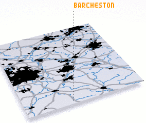 Places with similar names to Barcheston, United Kingdom :: Disclaimer :: Information on this page comes without warranty of any kind |
||
|
Where is Barcheston? Elevation and coordinates ::
Latitude (lat): 52°2'0"N Longitude (lon): 1°36'0"W
Elevation (approx.): 114m (map arrows pan, magnifying glasses zoom) |
||
|
Visiting Barcheston? Hotel/Accommodation ::
Book a hotel in Barcheston Travel Guide ::
rental cars ::
car rental offers GPS waypoint ::
download a GPX waypoint (PoI) of Barcheston for your GPS receiver
|
||