|
search place name
|
||
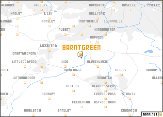
Barnt Green (United Kingdom)Barnt Green is a town in United Kingdom. An overview map of the region around Barnt Green is displayed below.
regional and 3d topo map of Barnt Green, United Kingdom ::
Barnt Green airports ::
The nearest airport is BHX - Birmingham, located 19.7 km north east of Barnt Green.
Other airports nearby include CVT - Coventry (34.4 km east), GLO - Golouchestershire Gloucestershire (52.3 km south), EMA - Nottingham East Midlands (69.6 km north east), BZZ - Brize Norton (72.2 km south), Nearby towns ::
Cofton Hackett (1.9km north) //
Alvechurch (2.9km south east) //
Tardebigge (3.9km south) //
Vigo (2.9km south west) //
Hopwood (4.3km north east) //
Longbridge (5.6km north) //
Rubery (6.0km north) //
Northfield (7.5km north) //
Bentley (7.5km south) //
Frankley (7.5km north) //
Lickey End (4.9km west) //
Kings Norton (6.5km north east) //
Redditch (6.5km south east) //
Headless Cross (8.2km south east) //
Bournville (8.7km north east) //
Romsley (8.7km north west) //
[all distances 'as the bird flies' and approximate] 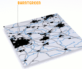 Places with similar names to Barnt Green, United Kingdom ::
// Burnt Corn (US)
Disclaimer :: Information on this page comes without warranty of any kind |
||
|
Where is Barnt Green? Elevation and coordinates ::
Latitude (lat): 52°21'0"N Longitude (lon): 1°59'0"W
Elevation (approx.): 176m (map arrows pan, magnifying glasses zoom) |
||
|
Visiting Barnt Green? Hotel/Accommodation ::
Book a hotel in Barnt Green Travel Guide ::
rental cars ::
car rental offers GPS waypoint ::
download a GPX waypoint (PoI) of Barnt Green for your GPS receiver
|
||