|
search place name
|
||
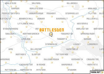
Battlesden (United Kingdom)Battlesden is a town in United Kingdom. An overview map of the region around Battlesden is displayed below.
regional and 3d topo map of Battlesden, United Kingdom ::
nearby GPS traces from timatio ::
Battlesden airports ::
The nearest airport is LTN - London Luton, located 16.2 km south east of Battlesden.
Other airports nearby include NHT - Northolt (43.8 km south), LHR - London Heathrow (51.4 km south), OXF - Oxford Kidlington (51.8 km west), STN - London Stansted (56.6 km east), Nearby towns ::
Hockliffe (1.9km south) //
Milton Bryant (1.9km north) //
Stanbridge (3.7km south) //
Tebworth (2.9km south east) //
Potsgrove (2.9km north west) //
Toddington (3.4km east) //
Eversholt (6.0km north) //
Woburn (6.0km north) //
Eaton Bray (7.4km south) //
Ridgmont (7.4km north) //
Heath and Reach (4.6km west) //
Leighton Buzzard (4.9km west) //
Billington (6.5km south west) //
Totternhoe (7.8km south) //
Houghton Regis (5.9km south east) //
Slapton (8.2km south west) //
Dunstable (7.2km south east) //
Woburn Sands (8.2km north west) //
Steppingley (8.7km north east) //
[all distances 'as the bird flies' and approximate] 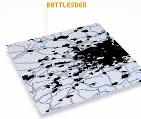 Places with similar names to Battlesden, United Kingdom ::
// Biddlestone (GB)
// Biddlesdon (GB)
Disclaimer :: Information on this page comes without warranty of any kind |
||
|
Where is Battlesden? Elevation and coordinates ::
Latitude (lat): 51°56'0"N Longitude (lon): 0°35'0"W
Elevation (approx.): 102m (map arrows pan, magnifying glasses zoom) |
||
|
Visiting Battlesden? Hotel/Accommodation ::
Book a hotel in Battlesden Travel Guide ::
rental cars ::
car rental offers GPS waypoint ::
download a GPX waypoint (PoI) of Battlesden for your GPS receiver
|
||