|
search place name
|
||
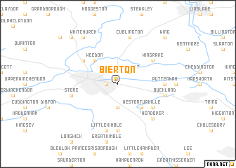
Bierton (United Kingdom)Bierton is a town in United Kingdom. An overview map of the region around Bierton is displayed below.
regional and 3d topo map of Bierton, United Kingdom ::
Bierton airports ::
The nearest airport is LTN - London Luton, located 29.3 km east of Bierton.
Other airports nearby include OXF - Oxford Kidlington (37.1 km west), NHT - Northolt (38.7 km south east), LHR - London Heathrow (43.8 km south east), BBS - Blackbushe (55.0 km south), Nearby towns ::
Aylesbury (1.1km west) //
Hulcott (2.2km north east) //
Stoke Mandeville (3.7km south) //
Weston Turville (4.4km south east) //
Weedon (4.4km north west) //
Hardwick (5.1km north west) //
Wingrave (5.1km north east) //
Halton (5.1km south east) //
Puttenham (4.6km east) //
Ellesborough (7.4km south) //
Cublington (7.5km north) //
Buckland (4.9km east) //
Aston Clinton (4.9km east) //
Little Kimble (7.5km south) //
Stone (4.9km west) //
Wendover (6.5km south east) //
Whitchurch (8.2km north west) //
Wing (8.7km north east) //
Oving (8.7km north west) //
[all distances 'as the bird flies' and approximate] 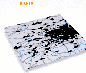 Places with similar names to Bierton, United Kingdom ::
Disclaimer :: Information on this page comes without warranty of any kind |
||
|
Where is Bierton? Elevation and coordinates ::
Latitude (lat): 51°49'0"N Longitude (lon): 0°47'0"W
Elevation (approx.): 86m (map arrows pan, magnifying glasses zoom) |
||
|
Visiting Bierton? Hotel/Accommodation ::
Book a hotel in Bierton Travel Guide ::
rental cars ::
car rental offers GPS waypoint ::
download a GPX waypoint (PoI) of Bierton for your GPS receiver
|
||