|
search place name
|
||
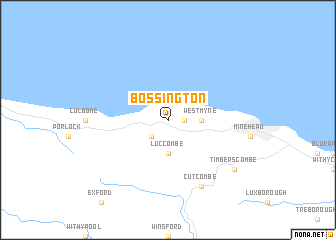
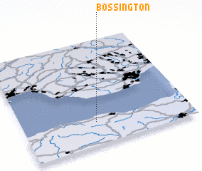
Bossington (United Kingdom)Bossington is a town in United Kingdom. An overview map of the region around Bossington is displayed below.
regional and 3d topo map of Bossington, United Kingdom ::
Bossington airports ::
The nearest airport is CWL - Cardiff, located 25.4 km north east of Bossington.
Other airports nearby include EXT - Exeter (54.7 km south), SWS - Swansea (55.5 km north west), BRS - Bristol (61.9 km east), YEO - Yeovilton (68.9 km east), Nearby towns ::
 Places with similar names to Bossington, United Kingdom :: Disclaimer :: Information on this page comes without warranty of any kind |
||
|
Where is Bossington? Elevation and coordinates ::
Latitude (lat): 51°13'0"N Longitude (lon): 3°34'0"W
Elevation (approx.): 215m (map arrows pan, magnifying glasses zoom) |
||
|
Visiting Bossington? Hotel/Accommodation ::
Book a hotel in Bossington Travel Guide ::
rental cars ::
car rental offers GPS waypoint ::
download a GPX waypoint (PoI) of Bossington for your GPS receiver
|
||