|
search place name
|
||
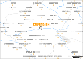
Cavendish (United Kingdom)Cavendish is a town in United Kingdom. An overview map of the region around Cavendish is displayed below.
regional and 3d topo map of Cavendish, United Kingdom ::
Cavendish airports ::
The nearest airport is BEQ - Honington, located 30.4 km north of Cavendish.
Other airports nearby include MHZ - Mildenhall (32.6 km north), CBG - Cambridge (34.2 km north west), STN - London Stansted (35.2 km south west), SEN - Southend (57.1 km south), Nearby towns ::
Belchamp Saint Paul (3.9km south) //
Glemsford (2.9km north east) //
Boxted (4.4km north east) //
Belchamp Otten (5.6km south) //
Hawkedon (5.6km north) //
Clare (3.4km west) //
Stanstead (3.9km north east) //
Poslingford (5.0km north west) //
Gestingthorpe (7.5km south) //
Liston (4.9km east) //
Hartest (6.5km north east) //
Borley (5.9km south east) //
Bulmer (8.2km south east) //
Stradishall (7.2km north west) //
Tilbury Juxta Clare (7.2km south west) //
Great Yeldham (8.7km south west) //
Wickhambrook (8.7km north west) //
Denston (8.7km north west) //
[all distances 'as the bird flies' and approximate] 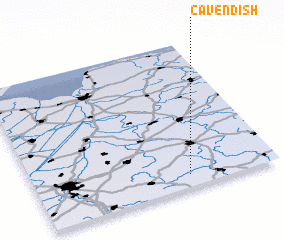 Places with similar names to Cavendish, United Kingdom ::
Disclaimer :: Information on this page comes without warranty of any kind |
||
|
Where is Cavendish? Elevation and coordinates ::
Latitude (lat): 52°5'0"N Longitude (lon): 0°38'0"W
Elevation (approx.): 41m (map arrows pan, magnifying glasses zoom) |
||
|
Visiting Cavendish? Hotel/Accommodation ::
Book a hotel in Cavendish Travel Guide ::
rental cars ::
car rental offers GPS waypoint ::
download a GPX waypoint (PoI) of Cavendish for your GPS receiver
|
||