|
search place name
|
||
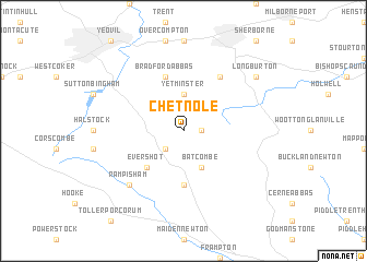
Chetnole (United Kingdom)Chetnole is a town in United Kingdom. An overview map of the region around Chetnole is displayed below.
regional and 3d topo map of Chetnole, United Kingdom ::
Chetnole airports ::
The nearest airport is YEO - Yeovilton, located 16.7 km north of Chetnole.
Other airports nearby include BOH - Bournemouth (51.9 km east), BRS - Bristol (58.4 km north), EXT - Exeter (61.5 km west), FZO - Bristol Filton (72.6 km north), Nearby towns ::
Leigh (1.2km east) //
Melbury Bubb (2.2km south west) //
Yetminster (3.7km north) //
Batcombe (3.9km south) //
Evershot (4.4km south west) //
Frome Saint Quinton (5.6km south) //
Bradford Abbas (5.7km north) //
Lillington (6.0km north east) //
Rampisham (6.6km south west) //
Long Burton (7.3km north east) //
[all distances 'as the bird flies' and approximate] 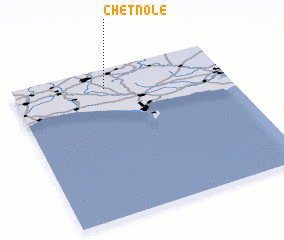 Places with similar names to Chetnole, United Kingdom ::
Disclaimer :: Information on this page comes without warranty of any kind |
||
|
Where is Chetnole? Elevation and coordinates ::
Latitude (lat): 50°52'0"N Longitude (lon): 2°34'0"W
Elevation (approx.): 74m (map arrows pan, magnifying glasses zoom) |
||
|
Visiting Chetnole? Hotel/Accommodation ::
Book a hotel in Chetnole Travel Guide ::
rental cars ::
car rental offers GPS waypoint ::
download a GPX waypoint (PoI) of Chetnole for your GPS receiver
|
||