|
search place name
|
||
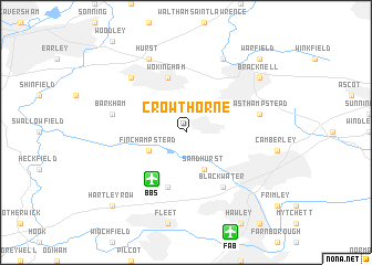
Crowthorne (United Kingdom)Crowthorne is a town in United Kingdom. An overview map of the region around Crowthorne is displayed below.
regional and 3d topo map of Crowthorne, United Kingdom ::
Crowthorne airports ::
The nearest airport is BBS - Blackbushe, located 5.2 km south west of Crowthorne.
Other airports nearby include FAB - Farnborough (10.5 km south), ODH - Odiham (17.2 km south west), QLA - Lasham (25.1 km south west), LHR - London Heathrow (27.6 km north east), Nearby towns ::
Finchampstead (3.0km south west) //
Sandhurst (3.9km south) //
Wokingham (5.7km north) //
Blackbushes (5.7km south) //
Blackwater (6.0km south east) //
Barkham (5.0km west) //
Easthampstead (5.0km east) //
Winnersh (6.6km north west) //
Hurst (7.8km north) //
Binfield (7.8km north) //
Bracknell (7.2km north east) //
Warfield (8.7km north east) //
Hartley Row (8.7km south west) //
[all distances 'as the bird flies' and approximate] 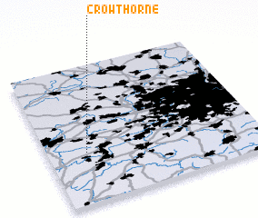
Disclaimer :: Information on this page comes without warranty of any kind |
||
|
Where is Crowthorne? Elevation and coordinates ::
Latitude (lat): 51°22'0"N Longitude (lon): 0°49'0"W
Elevation (approx.): 79m (map arrows pan, magnifying glasses zoom) |
||
|
Visiting Crowthorne? Hotel/Accommodation ::
Book a hotel in Crowthorne Travel Guide ::
rental cars ::
car rental offers GPS waypoint ::
download a GPX waypoint (PoI) of Crowthorne for your GPS receiver
|
||