|
search place name
|
||
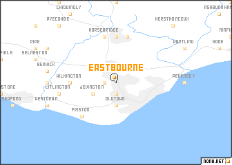
Eastbourne (United Kingdom)Eastbourne is a town in United Kingdom. An overview map of the region around Eastbourne is displayed below.
regional and 3d topo map of Eastbourne, United Kingdom ::
Eastbourne airports ::
The nearest airport is ESH - Shoreham By Sea Shoreham, located 38.8 km west of Eastbourne.
Other airports nearby include LGW - London Gatwick (49.6 km north west), LYX - Lydd (51.5 km east), BQH - Biggin Hill (61.0 km north), LCY - London City (79.6 km north), Nearby towns ::
Willingdon (1.9km south) //
Ratton Village (1.9km south) //
Polegate (1.2km west) //
Old Town (3.7km south) //
Jevington (3.0km south west) //
Wilmington (4.7km west) //
Hellingly (7.4km north) //
Hailsham (7.5km north) //
Horsebridge (7.5km north) //
Friston (6.6km south west) //
Eastdean (6.6km south west) //
[all distances 'as the bird flies' and approximate] 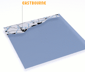 Places with similar names to Eastbourne, United Kingdom ::
// Eastburn (US)
// East Auburn (US)
// East Berne (US)
// Eastbourne (BB)
// Eastbourne (NZ)
// East Barron (AU)
// Eastbourne (AU)
Disclaimer :: Information on this page comes without warranty of any kind |
||
|
Where is Eastbourne? Elevation and coordinates ::
Latitude (lat): 50°48'0"N Longitude (lon): 0°15'0"W
Elevation (approx.): 39m (map arrows pan, magnifying glasses zoom) |
||
|
Visiting Eastbourne? Hotel/Accommodation ::
Book a hotel in Eastbourne Travel Guide ::
rental cars ::
car rental offers GPS waypoint ::
download a GPX waypoint (PoI) of Eastbourne for your GPS receiver
|
||