|
search place name
|
||
Essendon (United Kingdom)Essendon is a town in United Kingdom. An overview map of the region around Essendon is displayed below.
regional and 3d topo map of Essendon, United Kingdom ::

Essendon airports ::
The nearest airport is LTN - London Luton, located 20.5 km north west of Essendon.
Other airports nearby include NHT - Northolt (28.7 km south west), STN - London Stansted (30.5 km north east), LCY - London City (30.7 km south east), LHR - London Heathrow (37.2 km south west), Nearby towns ::
Hatfield (2.2km north west) //
Little Berkhampstead (2.3km east) //
Cole Green (3.9km north) //
Cuffley (4.4km south east) //
Northaw (5.6km south) //
Bayford (3.4km east) //
Panshanger (5.7km north) //
Hertingfordbury (5.1km north east) //
Newgate Street (5.1km south east) //
Tewin (7.4km north) //
Potters Bar (7.5km south) //
Welwyn Garden City (6.5km north west) //
Digswell (7.8km north) //
Goffs Oak (7.2km south east) //
Bramfield (8.2km north east) //
High Welwyn (8.2km north west) //
Ayot Saint Peter (8.7km north west) //
[all distances 'as the bird flies' and approximate] 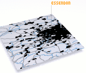
Disclaimer :: Information on this page comes without warranty of any kind |
||
|
Where is Essendon? Elevation and coordinates ::
Latitude (lat): 51°45'0"N Longitude (lon): 0°9'0"W
Elevation (approx.): 111m (map arrows pan, magnifying glasses zoom) |
||
|
Visiting Essendon? Hotel/Accommodation ::
Book a hotel in Essendon Travel Guide ::
rental cars ::
car rental offers GPS waypoint ::
download a GPX waypoint (PoI) of Essendon for your GPS receiver
|
||