|
search place name
|
||
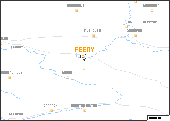
Feeny (United Kingdom)Feeny is a town in United Kingdom. An overview map of the region around Feeny is displayed below.
regional and 3d topo map of Feeny, United Kingdom ::
Feeny airports ::
The nearest airport is LDY - Londonderry Eglinton, located 20.0 km north west of Feeny.
Other airports nearby include BFS - Belfast Aldergrove (57.3 km south east), ENK - Enniskillen St Angelo (67.7 km south west), BHD - Belfast City (79.4 km east), ILY - Islay (101.2 km north east), Nearby towns ::
Ballydonegan (1.9km south) //
Dreen (4.3km south west) //
Altmover (5.7km north) //
[all distances 'as the bird flies' and approximate] 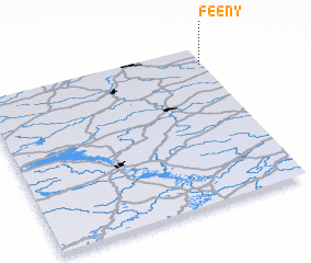 Places with similar names to Feeny, United Kingdom ::
Disclaimer :: Information on this page comes without warranty of any kind |
||
|
Where is Feeny? Elevation and coordinates ::
Latitude (lat): 54°53'0"N Longitude (lon): 7°1'0"W
Elevation (approx.): 138m (map arrows pan, magnifying glasses zoom) |
||
|
Visiting Feeny? Hotel/Accommodation ::
Book a hotel in Feeny Travel Guide ::
rental cars ::
car rental offers GPS waypoint ::
download a GPX waypoint (PoI) of Feeny for your GPS receiver
|
||