|
search place name
|
||
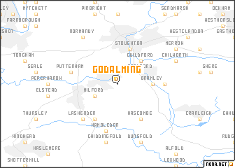
Godalming (United Kingdom)Godalming is a town in United Kingdom. An overview map of the region around Godalming is displayed below.
regional and 3d topo map of Godalming, United Kingdom ::
Godalming airports ::
The nearest airport is FAB - Farnborough, located 16.1 km north west of Godalming.
Other airports nearby include BBS - Blackbushe (23.3 km north west), ODH - Odiham (24.6 km west), LGW - London Gatwick (28.9 km east), QLA - Lasham (30.3 km west), Nearby towns ::
Milford (3.0km south west) //
Compton (3.0km north west) //
Shalford (3.0km north east) //
Guildford (4.4km north east) //
Bramley (3.5km east) //
Stoughton (5.7km north) //
Hascombe (6.0km south east) //
Witley (6.0km south west) //
Wonersh (4.6km east) //
Hambledon (7.5km south) //
Puttenham (5.0km west) //
Lashenden (6.6km south west) //
Normandy (8.2km north west) //
[all distances 'as the bird flies' and approximate] 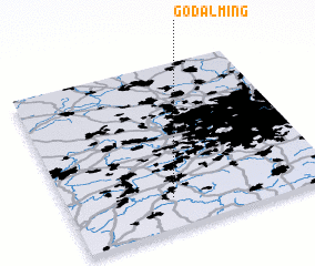 Places with similar names to Godalming, United Kingdom ::
// Katilambinga (ZM)
// Kotli Mānga (PK)
Disclaimer :: Information on this page comes without warranty of any kind |
||
|
Where is Godalming? Elevation and coordinates ::
Latitude (lat): 51°11'0"N Longitude (lon): 0°36'0"W
Elevation (approx.): 81m (map arrows pan, magnifying glasses zoom) |
||
|
Visiting Godalming? Hotel/Accommodation ::
Book a hotel in Godalming Travel Guide ::
rental cars ::
car rental offers GPS waypoint ::
download a GPX waypoint (PoI) of Godalming for your GPS receiver
|
||