|
search place name
|
||
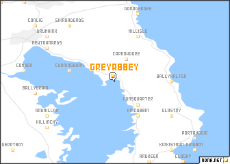
Greyabbey (United Kingdom)Greyabbey is a town in United Kingdom. An overview map of the region around Greyabbey is displayed below.
regional and 3d topo map of Greyabbey, United Kingdom ::
Greyabbey airports ::
The nearest airport is BHD - Belfast City, located 21.9 km north west of Greyabbey.
Other airports nearby include BFS - Belfast Aldergrove (44.2 km west), IOM - Isle Of Man (79.2 km south east), LDY - Londonderry Eglinton (117.2 km north west), PIK - Prestwick (125.4 km north east), Nearby towns ::
Carrowdore (3.9km north) //
Nuns Quarter (4.3km south east) //
Kircubbin (6.0km south) //
Cunningburn (4.7km north west) //
Millisle (7.7km north) //
[all distances 'as the bird flies' and approximate] 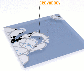
Disclaimer :: Information on this page comes without warranty of any kind |
||
|
Where is Greyabbey? Elevation and coordinates ::
Latitude (lat): 54°32'0"N Longitude (lon): 5°34'0"W
(map arrows pan, magnifying glasses zoom) |
||
|
Visiting Greyabbey? Hotel/Accommodation ::
Book a hotel in Greyabbey Travel Guide ::
rental cars ::
car rental offers GPS waypoint ::
download a GPX waypoint (PoI) of Greyabbey for your GPS receiver
|
||