|
search place name
|
||
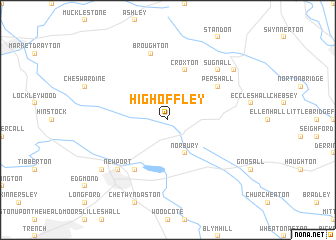
High Offley (United Kingdom)High Offley is a town in United Kingdom. An overview map of the region around High Offley is displayed below.
regional and 3d topo map of High Offley, United Kingdom ::
High Offley airports ::
The nearest airport is CEG - Hawarden, located 57.8 km north west of High Offley.
Other airports nearby include BHX - Birmingham (57.9 km south east), MAN - Manchester (58.0 km north), LPL - Liverpool (65.6 km north west), EMA - Nottingham East Midlands (67.8 km east), Nearby towns ::
Adbaston (2.2km north west) //
Norbury (3.9km south) //
Croxton (5.7km north) //
Forton (6.0km south) //
Pershall (5.0km north east) //
Broughton (7.5km north) //
Newport (6.5km south west) //
Sugnall (6.5km north east) //
Slindon (7.1km north east) //
Chetwynd (7.1km south west) //
[all distances 'as the bird flies' and approximate] 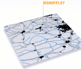 Places with similar names to High Offley, United Kingdom ::
// Highfill (US)
// High Valley (US)
// Highville (US)
// High Valley (US)
// Huffville (US)
// High Valley (US)
Disclaimer :: Information on this page comes without warranty of any kind |
||
|
Where is High Offley? Elevation and coordinates ::
Latitude (lat): 52°50'0"N Longitude (lon): 2°20'0"W
Elevation (approx.): 100m (map arrows pan, magnifying glasses zoom) |
||
|
Visiting High Offley? Hotel/Accommodation ::
Book a hotel in High Offley Travel Guide ::
rental cars ::
car rental offers GPS waypoint ::
download a GPX waypoint (PoI) of High Offley for your GPS receiver
|
||