|
search place name
|
||
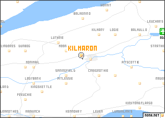
Kilmaron (United Kingdom)Kilmaron is a town in United Kingdom. An overview map of the region around Kilmaron is displayed below.
regional and 3d topo map of Kilmaron, United Kingdom ::
Kilmaron airports ::
The nearest airport is ADX - Leuchars, located 12.0 km north east of Kilmaron.
Other airports nearby include DND - Dundee (15.1 km north), EDI - Edinburgh (46.0 km south west), GLA - Glasgow (100.2 km south west), ABZ - Aberdeen Dyce (111.0 km north east), Nearby towns ::
Cupar (1.0km east) //
Moonzie (2.8km north west) //
Craigrothie (4.2km south east) //
Springfield (4.2km south west) //
Luthrie (4.8km north west) //
Kilmany (5.9km north) //
Pitlessie (5.9km south) //
Ceres (5.5km south east) //
Logie (6.9km north east) //
[all distances 'as the bird flies' and approximate] 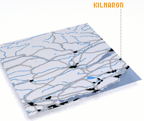 Places with similar names to Kilmaron, United Kingdom ::
// Calambrone (IT)
// Galūmārān (IR)
// Golmīrān (IR)
// Kalleh Mārān (IR)
// Gullamoran (NG)
// Caille Maron (HT)
// Colmurano (IT)
// Kalamurina (AU)
// Killomoran (IE)
// Kilmorna (IE)
Disclaimer :: Information on this page comes without warranty of any kind |
||
|
Where is Kilmaron? Elevation and coordinates ::
Latitude (lat): 56°19'0"N Longitude (lon): 3°2'0"W
Elevation (approx.): 50m (map arrows pan, magnifying glasses zoom) |
||
|
Visiting Kilmaron? Hotel/Accommodation ::
Book a hotel in Kilmaron Travel Guide ::
rental cars ::
car rental offers GPS waypoint ::
download a GPX waypoint (PoI) of Kilmaron for your GPS receiver
|
||