|
search place name
|
||
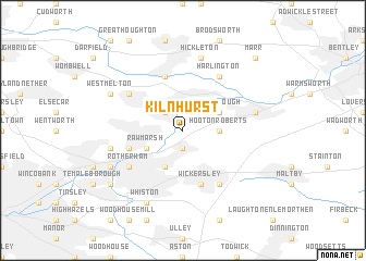
Kilnhurst (United Kingdom)Kilnhurst is a town in United Kingdom. An overview map of the region around Kilnhurst is displayed below.
regional and 3d topo map of Kilnhurst, United Kingdom ::
Kilnhurst airports ::
The nearest airport is LBA - Leeds Bradford, located 50.4 km north west of Kilnhurst.
Other airports nearby include WTN - Waddington (61.6 km south east), HUY - Humberside (64.1 km east), MAN - Manchester (66.0 km west), EMA - Nottingham East Midlands (70.8 km south), Nearby towns ::
Thrybergh (1.9km south) //
Swinton (2.2km north west) //
Hooton Roberts (2.2km east) //
Mexborough (2.9km north east) //
Rawmarsh (2.9km south west) //
Aldwarke (3.9km south) //
Wickersley (5.7km south) //
Park Gate (3.8km south west) //
Bolton upon Dearne (5.7km north) //
Bramley (6.0km south) //
Wath upon Dearne (5.0km north west) //
Barnbrough (6.0km north) //
Harlington (6.0km north) //
Rotherham (5.0km south west) //
Hickleton (7.5km north) //
Conisbrough (4.8km north east) //
Greasbrough (4.8km south west) //
Whiston (7.7km south) //
West Melton (5.8km north west) //
Blackburn (5.8km south west) //
Canklow (7.1km south west) //
Marr (8.6km north east) //
[all distances 'as the bird flies' and approximate] 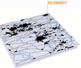 Places with similar names to Kilnhurst, United Kingdom ::
// Kleine-Horst (NL)
Disclaimer :: Information on this page comes without warranty of any kind |
||
|
Where is Kilnhurst? Elevation and coordinates ::
Latitude (lat): 53°28'0"N Longitude (lon): 1°18'0"W
Elevation (approx.): 20m (map arrows pan, magnifying glasses zoom) |
||
|
Visiting Kilnhurst? Hotel/Accommodation ::
Book a hotel in Kilnhurst Travel Guide ::
rental cars ::
car rental offers GPS waypoint ::
download a GPX waypoint (PoI) of Kilnhurst for your GPS receiver
|
||