|
search place name
|
||
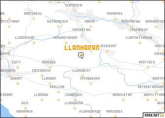
Llanharan (United Kingdom)Llanharan is a town in United Kingdom. An overview map of the region around Llanharan is displayed below.
regional and 3d topo map of Llanharan, United Kingdom ::
Llanharan airports ::
The nearest airport is CWL - Cardiff, located 16.4 km south of Llanharan.
Other airports nearby include SWS - Swansea (44.7 km west), BRS - Bristol (52.4 km east), FZO - Bristol Filton (58.5 km east), YEO - Yeovilton (80.5 km south east), Nearby towns ::
Coed Ely (2.2km north east) //
Llanharry (3.7km south) //
Hendre-Forgan (4.4km north west) //
Tonyrefail (5.6km north) //
Ystradowen (5.7km south) //
Llantrisant (3.9km north east) //
Porth (7.5km north) //
Pencoed (5.0km west) //
Penlline (8.2km south west) //
Gilfach Gôch (8.2km north west) //
Llangan (7.2km south west) //
[all distances 'as the bird flies' and approximate] 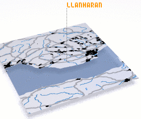 Places with similar names to Llanharan, United Kingdom ::
// Lanhouarneau (FR)
Disclaimer :: Information on this page comes without warranty of any kind |
||
|
Where is Llanharan? Elevation and coordinates ::
Latitude (lat): 51°32'0"N Longitude (lon): 3°26'0"W
Elevation (approx.): 110m (map arrows pan, magnifying glasses zoom) |
||
|
Visiting Llanharan? Hotel/Accommodation ::
Book a hotel in Llanharan Travel Guide ::
rental cars ::
car rental offers GPS waypoint ::
download a GPX waypoint (PoI) of Llanharan for your GPS receiver
|
||