|
search place name
|
||
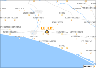
Loders (United Kingdom)Loders is a town in United Kingdom. An overview map of the region around Loders is displayed below.
regional and 3d topo map of Loders, United Kingdom ::
Loders airports ::
The nearest airport is YEO - Yeovilton, located 31.2 km north of Loders.
Other airports nearby include EXT - Exeter (49.2 km west), BOH - Bournemouth (61.9 km east), BRS - Bristol (72.2 km north), CWL - Cardiff (85.9 km north west), Nearby towns ::
Bridport (0.0km north) //
Bradpole (1.2km west) //
Burton Bradstock (3.7km south) //
Powerstock (4.4km north east) //
Askerswell (3.5km east) //
West Bay (4.0km south west) //
Netherbury (6.0km north west) //
Swyre (6.6km south east) //
Beaminster (7.8km north) //
Puncknowle (7.3km south east) //
Hooke (8.2km north east) //
Stoke Abbott (8.8km north west) //
[all distances 'as the bird flies' and approximate] 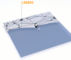 Places with similar names to Loders, United Kingdom ::
// La Terraza (US)
// Lautersee (DE)
// Lautersee (DE)
// Lautersee (DE)
// Lütterz (DE)
// La Torrazza (IT)
// Ladeiras (PT)
// Ladeiras (PT)
// Liteiros (PT)
// Ludares (PT)
Disclaimer :: Information on this page comes without warranty of any kind |
||
|
Where is Loders? Elevation and coordinates ::
Latitude (lat): 50°44'0"N Longitude (lon): 2°43'0"W
Elevation (approx.): 97m (map arrows pan, magnifying glasses zoom) |
||
|
Visiting Loders? Hotel/Accommodation ::
Book a hotel in Loders Travel Guide ::
rental cars ::
car rental offers GPS waypoint ::
download a GPX waypoint (PoI) of Loders for your GPS receiver
|
||